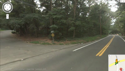
I was a little lost trying to figure out how to use the street view feature in Google Maps. Once you are on the page with the map, there is no clear direction on how to use it other than the simple box where you enter the address you want to look up. Sure there is a link for an interactive tutorial, but who has time for that and who knows if that even shows you how to get to the street view. I didn’t check it. So after some time and frustration, I figured the mystery of Google Maps Street View out. Here ya go…
Go to Google Maps in your part of the country and type in your address.
Then drag the little yellow man to where you want to see the street view.
If the street you want to view does not have a blue line placed over it means
that Google’s vans were running out of gas and couldn’t film your street. Ha.
Seriously though, if there is no blue line on your street then you will not be able
the street view on Google Maps. Once you place the yellow man where you want
him, a sample view will pop up and when that is the spot you want then release the
man and the street view will load. Behold…


